The Bering Sea reaches its maximum depth at approximately 4,097 meters (13,442 feet). Its depth varies across different regions.
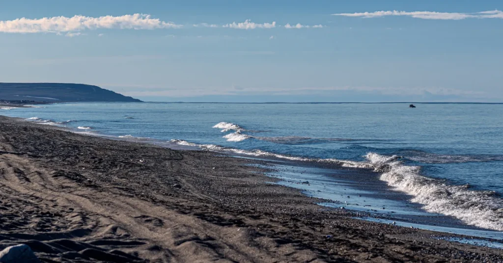
The Bering Sea, known for its majestic and stark expanses, lies between Alaska and Russia, forming a part of the Pacific Ocean. It spans an impressive area of over two million square kilometers, hosting a complex ecosystem brimming with a wide array of marine life.
Not only is it crucial for its biodiversity, but also for the fishing industry, which relies heavily on the bountiful resources the sea provides.
The sea’s natural beauty and abundant resources have been a focal point for both scientific study and commercial interest, with sustainable practices being essential to preserving its health for future generations.
Sailors and adventurers alike are drawn to the Bering Sea’s challenging waters which are steeped in both history and legend.

Plunging Into The Depths Of The Bering Sea
The Bering Sea stands as one of Earth’s majestic marine frontiers. It beckons with mystery and depth.
This vast sea, witnessed by few, holds secrets beneath its waves. Join us on a journey as we explore its profound depths and discover what lies below its icy surface.
Geographical Location
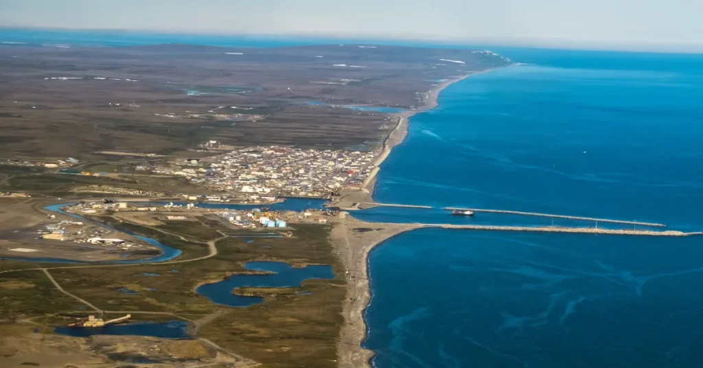
The Bering Sea is a remote expanse of ocean. Located between Alaska and Russia, it spans from the Aleutian Islands to the Arctic Circle. This sea serves as a bridge between the Pacific and Arctic Oceans, framing the coastline with breathtaking beauty.
Known Depth Measurements
Understanding the Bering Sea’s depth is crucial for marine navigation and ecology. The deepest points are found in the Bering Basin, where the ocean’s bed plunges dramatically. The following data provides a glimpse into its vastness:
- Average Depth: 1,768 meters (5,801 feet)
- Maximum Depth: 4,097 meters (13,442 feet)
Such depth measurements make the Bering Sea one of the world’s most profound bodies of water. Its depths support a diverse range of sea life and are pivotal for scientific research.
To truly understand its scale, consider the tallest skyscrapers submerging into its abyss, vanishing without a trace.
Discoveries Of The Bering Sea
The cold, enigmatic depths of the Bering Sea have been a lure for explorers and scientists alike. Over centuries, adventurers braved these waters to chart unknown territories.
Researchers unraveled its secrets. Let’s delve into the historical expeditions and discoveries that mark the legacy of this majestic sea.
Early Exploration Efforts
In the quest to discover new lands, the Bering Sea witnessed several early explorations. Russian explorers, including Vitus Bering for whom the sea is named, made huge strides in the 18th century.
- 1728: Vitus Bering’s first expedition proves Asia and North America are separate.
- 1741: Bering and Aleksei Chirikov lead a Russian expedition, sighting the Alaskan coast.
These efforts laid the groundwork for mapping the Arctic and understanding the Bering Sea.
Significant Oceanographic Surveys
As time progressed, expeditions became more scientific. Focus shifted to studying the sea’s composition and marine life.
| Year | Expedition | Discoveries |
| 1899-1900 | Harriman Alaska Expedition | Collected specimens, noted for biodiversity studies. |
| 1925 | USCGC Northland Survey | Mapped the Bering Sea floor, revealing detailed bathymetry. |
These oceanographic surveys contributed vast knowledge to our understanding of underwater landscapes.
Modern Techniques In Depth Determination
The Bering Sea, a vast expanse of the northern Pacific, hides its depths beneath chilly waves. Explorers and scientists rely on modern tools to peer into its mysteries.
Advances in technology have enhanced our understanding of this sea’s depth. These tools have become vital in our quest to map and understand the world’s oceans.
Sonar Technology
Sonar, short for Sound Navigation and Ranging, is a mainstay in oceanography. It determines the depths of the sea by sending sound pulses down. These pulses bounce back from the seabed. The time they take to return measures the distance.
- Multibeam sonar provides a detailed map of the ocean floor.
- Sonar helps to locate underwater features like mountains, valleys, and trenches.
- Ships and submarines use sonar to navigate safely.
Satellite Altimetry Advancements
Satellite altimetry takes height measurements from space. It uses radar waves reflected off the sea surface. The shape of the sea surface tells us about the sea floor features.
- Satellites like Jason or AltiKa circle Earth, mapping its oceans.
- This technique measures large scale depth features over thousands of kilometers.
- Satellite data helps understand sea level changes and climate patterns.
Life In The Abyss
The Bering Sea, renowned for its vast expanse and depth, conceals a world of mystery in its inky depths known as the abyss. Beyond the reach of sunlight, this hidden realm is home to an astonishing array of life that thrives under extreme pressure and in total darkness.
Adaptations Of Deep-sea Creatures
Deep in the Bering Sea, life takes on extraordinary forms. Creatures here have evolved unique adaptations. Their survival tricks are astonishing and diverse.
- Bioluminescence: Many species produce their own light, creating a spectacular underwater light show.
- Pressure Resilience: Their bodies can withstand immense pressures, far greater than any human-made structure.
- Extreme Diet: Some organisms can survive on scarce food resources, occasionally scavenging whale carcasses for feasts.
The Bering Sea Ecosystem
The Bering Sea ecosystem is intricate. It supports a rich tapestry of marine life from the smallest plankton to the mighty whales.
| Creature Type | Role in Ecosystem |
| Plankton | Base of food web, sustains many species. |
| Deep-Sea Fish | Predators and prey, balance species populations. |
| Marine Mammals | Top predators, crucial for ecosystem health. |
Understanding the depth of the Bering Sea is the first step towards appreciating the complexity of life it harbors and the unique adaptations of creatures calling it home.
Challenges And Mysteries Remaining
The mysteries of the Bering Sea have captivated explorers for centuries. Below the surface lies a world that is still largely unknown. Here, scientists face significant challenges as they strive to uncover the secrets of the deep.
Limitations In Current Research
Our understanding of the Bering Sea’s depths is far from complete. Research efforts confront multiple hinderances:
- Limited access to advanced technology can restrict deep-sea exploration.
- Rough weather conditions often impede research expeditions.
- There’s a lack of comprehensive data, due to cost and resource constraints.
Uncharted Zones And Marine Mysteries
Vast regions of the Bering Sea’s seafloor remain unexplored. This uncharted territory holds countless secrets:
- Unknown species may thrive in the abyss, beyond human reach.
- Geological formations under the sea bed could reveal new insights.
- Historic shipwrecks and artifacts lay hidden, telling tales of the past.
These mysteries offer endless opportunities for discovery.
Implications Of Depth On Maritime Activities
Understanding the depth of the Bering Sea is crucial for many sea-related activities. Depth affects how ships move, where they can go, and what resources we can take from the sea. Here we talk about these effects.
Navigational Considerations
The Bering Sea presents unique challenges to ship captains and navigators. Ships need to know where deep and shallow areas are. Safe paths for big ships depend on deep water. Smaller vessels can use shallower parts.
Depth data helps create accurate sea maps. Mariners use these maps to avoid getting stuck or hitting the sea floor.
Resource Extraction And Ownership
The Bering Sea’s depth shapes how we get its natural wealth. Deep areas might have oil or gas below. But getting these needs big machines and careful planning.
Countries near the Bering Sea want to control these resources. They make laws to say who can take what and where. Knowing the depth lets countries claim sea parts under international rules.
FAQs About How Deep Is Bering Sea
What Is The Maximum Depth Of The Bering Sea?
The Bering Sea reaches its maximum depth at approximately 4,097 meters (13,455 feet). This profound depth is found in the Aleutian Basin, which is the deepest part of the sea.
How Does The Bering Sea’s Depth Compare To Other Oceans?
While the Bering Sea is deep, it is not as deep as the world’s deepest oceans. For example, the Pacific Ocean’s Mariana Trench reaches depths of over 10,000 meters (36,000 feet), making the Bering Sea modest in comparison.
What Kind Of Marine Life Exists In The Bering Sea Depths?
The depths of the Bering Sea host a diverse range of marine life, including various fish species, deep-sea corals, and unique organisms adapted to the cold, high-pressure environment of the deep sea.
Are There Any Significant Geographical Features In The Bering Sea’s Deep?
Yes, the Bering Sea features significant geographical formations such as underwater mountains, canyons, and the Aleutian Basin. These contribute to the sea’s complex ecosystems and ocean current patterns.
Conclusion
Exploring the depths of the Bering Sea reveals a realm of marvels. This vast body of water reaches depths exceeding 4,000 meters. It’s a treasure trove for marine research and adventure.
As we’ve journeyed together through this post, the sheer scale of the Bering Sea’s depths is awe-inspiring – a true natural wonder that continues to captivate explorers and scientists alike.
Resources:
1. https://www.fisheries.noaa.gov/feature-story/current-sea-surface-temperatures-eastern-bering-sea