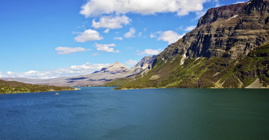
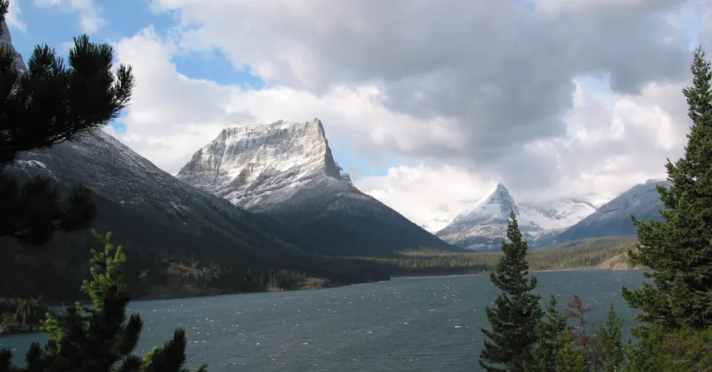
Grand Lake St. Marys has an average depth of 5 to 7 feet, with maximum depths reaching up to 10 feet. Nestled in western Ohio, Grand Lake St. Marys is a man-made reservoir renowned for its recreational opportunities and wildlife.
Covering 13,500 acres, it holds the title as Ohio’s largest inland lake, offering a playground for boating, fishing, and camping enthusiasts.
This historic lake was constructed in the early 19th century as a feeder for the Miami-Erie Canal and has since evolved into a popular Ohio State Park.
Visitors flock to its shores year-round to enjoy the scenic views and partake in the lake’s diverse outdoor activities, ensuring its position as a staple of Ohio’s natural attractions.

The Lure Of Grand Lake St. Marys
The Lure of Grand Lake St. Marys captivates visitors with its sheer magnitude and beauty. This man-made reservoir holds tales of history and recreation within Ohio’s landscape.
Known for its tranquil waters and recreational opportunities, Grand Lake St. Marys invites nature lovers and history enthusiasts alike to explore its depths.
Geographic Setting And Significance
Nestled in the western part of Ohio, Grand Lake St. Marys stands as a centerpiece of natural allure. Spanning approximately 13,500 acres, it’s the largest inland lake in Ohio by surface area.
The lake boasts a blend of blue waters and lush greenery, providing a haven for wildlife and a perfect setting for outdoor activities.
- Depth: Ranges from 5 to 7 feet, with some deeper channels.
- Location: Auglaize and Mercer counties, accessible from multiple points.
- Use: Boating, fishing, and watersports hotspot.
Historical Role In Ohio’s Development
Grand Lake St. Marys boasts a storied past, integral to Ohio’s growth. Constructed in the early 19th century as a reservoir for the Miami-Erie Canal, this lake served as a vital waterway for transporting goods and stimulating commerce.
Its historical significance is evident through landmarks surrounding the lake, chronicling the development of the region and the state.
| Year | Event | Significance |
| 1837 | Completion of Grand Lake St. Marys | Boosted Ohio’s economy |
| 1895 | Designation as a state park | Enhanced community recreation |
Today, Grand Lake St. Marys not only serves as a tribute to Ohio’s ingenuity but also as a hub for tourism and leisure, continuing its historical legacy of bringing people together.
Exploring The Depths

Immerse yourself in the fascinating world beneath the waters of Grand Lake St Marys.
This historic lake holds secrets deep within its waters.
Its depth, often a topic of much curiosity, varies across different points of the lake.
Let’s dive into how experts determine the underwater contours of this majestic body of water.
Measuring Techniques Through History
The quest to map Grand Lake St Marys dates back to its formation. Over the years, methods evolved drastically.
Initial depth measurements relied on basic tools, like weighted lines. Explorers would mark these lines and manually gauge the depth.
- Sounding lead and line: A simple technique featuring a lead weight attached to a line.
- Sextants and landmarks: Used to plot positions and estimate distances underwater.
These techniques paved the way for modern methodologies.
As technology advanced, so did the precision of depth charts.
Recent Depth Surveys And Findings
The depth of Grand Lake St Marys continues to intrigue researchers. Recent surveys employ sophisticated tools for accurate readings. Sonar technology is the cornerstone of modern lake mapping.
Sonar depth finders bounce sound waves off the lakebed.
| Area of Lake | Average Depth (feet) | Maximum Depth (feet) |
| North Basin | 5 | 7 |
| Central Basin | 6 | 10 |
| South Basin | 4 | 8 |
GPS mapping enhances accuracy with precise location data. Together, these tools have revealed the lake’s depths with remarkable detail. Findings show that depths range from shallow flats to deeper basins.
- Shallow zones provide habitats for aquatic plants and wildlife.
- Deeper areas offer recreational activities like boating and fishing.
Mysteries Beneath The Surface
Dive into the heart of Grand Lake St Marys, and you’ll uncover a world alive with mysteries beneath the surface. This vast water body, serene on the surface, conceals hidden features and historical secrets in its depths.
Adventure awaits as we navigate through underwater formations and seek out sunken tales of old.
Underwater Formations And Features
Grand Lake St Marys might not rank as the deepest of lakes, but beneath its waves lies an intriguing network of formations. Here’s a snapshot of what rests below:
- Sunken Hollows: These pockets on the lakebed provide homes for aquatic life.
- Glacial Grooves: Traces of the last Ice Age etched into the earth itself.
- Natural Substrates: From rocky to silty, the lake’s floor varies, supporting diverse ecosystems.
Tales Of Sunken Treasures And Relics
The lake whispers of lost riches and artifacts swallowed by its waters. Treasure hunters and historians alike are drawn to these legends.
| Legend | Description |
| Native American Artifacts | Items from indigenous tribes rumored to rest in the mud. |
| 19th-Century Relics | Remnants of old settlements that hint at the lake’s bustling past. |
| Lost Personal Effects | Swimmers’ and boaters’ belongings, accidentally dropped and forgotten. |
Conservation Efforts And Water Quality
Grand Lake St Marys is a man-made reservoir with a colorful history. Its use has shifted from a feeder lake for the Miami-Erie Canal to a beloved recreational spot. Still, this lake’s tale weaves in urgency around conservation efforts.
Water quality remains a top priority. Community members and environmental experts aim to restore and preserve the lake’s grandeur.
Challenges To Clarity And Depth Perception
Grand Lake St Marys faces clarity issues that mask its true depth. It is, on average, 5 to 7 feet deep. Algae blooms, primarily caused by nutrient runoff, cloud the waters, making the bottom less visible.
Sediment buildup from various sources adds to the challenge. Visibility under the surface is a concern not just for aesthetics but for the health of the ecosystem.
These are the main culprits affecting clarity:
- Agricultural runoff: Fertilizers and manure increase nutrient levels.
- Urban runoff: Stormwater carries pollutants from populated areas.
- Industrial waste: Past practices led to unwanted chemicals entering the lake.
- Sedimentation: Soil erosion contributes to sediment buildup.
Initiatives For Preserving The Lake’s Health
Persistent efforts are essential in preserving Grand Lake St Marys. The following initiatives help enhance health and clarity:
| Initiative | Impact |
| Alum Treatments | Reduce phosphorus levels, limiting algae growth. |
| Dredging | Remove sediment and improve water depth perception. |
| Buffer Strips | Prevent runoff, maintain clarity. |
| Wetland Restoration | Natural filtration system to cleanse the water. |
Local groups also focus on education and community involvement. They use methods like:
- Workshops on sustainable agriculture.
- Clean-up events to engage the public.
- Awareness campaigns for reducing pollution.
Combining technology with traditional knowledge leads to innovative solutions. The community monitors progress and adapts strategies. This ongoing process shows commitment to keeping Grand Lake St Marys vibrant for future generations.
Recreational Pursuits On The Lake

Welcome to Grand Lake St Marys, a hub of outdoor amusement and nature’s beauty. This lake promises a variety of exciting activities for everyone, from anglers to adventure enthusiasts.
Grand Lake St Marys stretches out, offering a playground for numerous recreational activities. Here, families, friends, and solo explorers dive into fun.
Activities Influenced By The Lake’s Depth
Depth shapes experiences on this magnificent lake. Whether you sail or swim, depth matters.
- Kayaking and Canoeing: Navigate with ease in shallow sections.
- Swimming: The lake’s various depths provide safe zones for a splash.
- Sailing: Deep pockets allow for smooth sailing escapades.
Impact Of Depth On Aquatic Life And Fishing
Aquatic life thrives in the lake’s unique depth profile. This creates a home for diverse fish.
| Depth Range (feet) | Aquatic Life | Fishing Experience |
| 0-5 | Small fish and plants | Good for beginners |
| 6-20 | Larger fish, diverse species | Challenging but rewarding |
Fishers find the lake’s depth offers unique challenges and bountiful catches. Keen anglers match their skills against the lake’s deep pockets.
FAQs About How Deep Is Grand Lake St Marys
What Is The Depth Of Grand Lake St Marys?
Grand Lake St Marys has a variable depth across its area, with an average depth of about 5 to 7 feet. The deepest points can reach up to 10 feet.
Can You Boat In Grand Lake St Marys?
Yes, boating is a popular activity on Grand Lake St Marys. However, there are restrictions on boat engine size and speed to protect the lake’s ecosystem.
Is Grand Lake St Marys Good For Fishing?
Grand Lake St Marys is known for its fishing opportunities. Anglers can find a variety of fish, including bass, bluegill, and crappie, especially near deeper sections and structures.
Are There Beaches At Grand Lake St Marys?
Grand Lake St Marys offers public beaches for swimming and sunbathing. The largest and most popular is Grand Lake St Marys State Park Beach.
Conclusion
Navigating the depths of Grand Lake St Marys reveals a fascinating underwater landscape. It averages 5-7 feet deep, with maximum depths reaching nearly 10 feet.
Whether fishing, boating, or exploring, this lake offers ample opportunity for aquatic adventures. Dive in and uncover its secrets for yourself.
Resources:
1. https://ohiodnr.gov/wps/portal/gov/odnr/go-and-do/plan-a-visit/find-a-property/grand-lake-st-marys-state-park
