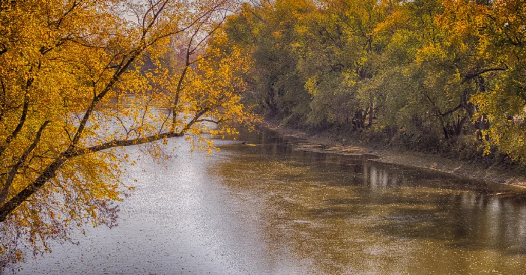
The Maumee River depths vary, averaging about 3 to 15 feet. It’s deeper near the mouth, reaching up to 24 feet.
Exploring the Maumee River reveals a waterway rich in history and vital to the ecosystem of the Great Lakes region. Stretching over 130 miles, this river flows through Indiana and Ohio, finally emptying into Lake Erie.
Its depth, fluctuating from shallow ripples to deeper channels, presents a diverse habitat for wildlife and a playground for outdoor enthusiasts.
As the largest watershed in the Great Lakes basin, the Maumee River supports fishing, boating, and recreational activities that boost local economies.
Its water levels are subject to change with seasons and weather patterns, impacting navigation and riverside communities.
Preservation efforts continue to be a priority, ensuring the Maumee River remains a treasured natural resource.

The Maumee River: A Geographic Snapshot
Nestled in the heartland of the Great Lakes region, the Maumee River holds wonders beneath its currents. This majestic waterway carves through the landscape, offering a mosaic of nature and history.
Its depth is more than a measure; it tells a story of time, earth, and water. Join us as we explore the contours that define the Maumee River.
Geological History
The Maumee River’s tale begins over 14,000 years ago. Ice sheets shaped its path during the Pleistocene Epoch. As glaciers retreated, they carved valleys and ridges. The river’s basin took form, sparking life in its wake.
- Glacial beginnings: The river’s course was carved by ice.
- Rich sediment deposits: Melting glaciers enriched the soil.
- Gave birth to diverse habitats: Wetlands and forests emerged.
Current Landscape And Flow
The Maumee River today stretches over 130 miles and boasts varied depths. It starts shallow in Indiana, then deepens into Ohio.
Flow patterns change with the seasons. Spring brings high waters. Summer sees a gentler flow. This ever-changing river supports wildlife and locals alike.
| Area | Average Depth | Characteristics |
| Headwaters | 2-4 feet | Shallow, swift |
| Mid-River | 5-10 feet | Deeper, variable flow |
| Estuary | Up to 15 feet | Deepest, influenced by Lake Erie |
The Maumee’s path nurtures ecosystems rich in fish and plant life. Fish migration peaks during the spring. The river connects communities, providing water for homes and farms. It is a precious resource we must protect.
Plunging Into The Depths
Imagine a ribbon of water weaving through Ohio and Indiana. This ribbon – the Maumee River – holds secrets beneath its surface. Let’s discover how deep it plunges and explore the depths together.
Average Depth Measurements
The Maumee River is not just one depth. It changes as you travel along it. On average, the depths range from 3 to 15 feet. It’s shallow in some places, and deeper in others.
| Section | Depth (Feet) |
| Upper Maumee | 3-5 |
| Middle Maumee | 6-10 |
| Lower Maumee | 10-15 |
Deep Spots And Shallow Stretches
Different areas of the Maumee River have their unique depths. Let’s peek at some:
- The ‘Deep Hole’ near Waterville has depths reaching over 20 feet.
- Shallow areas near Defiance are often less than 3 feet deep.
These variations create diverse habitats for fish and wildlife. They also affect the activities you can enjoy on the river.
Noteworthy Deep Spots
- Waterville’s ‘Deep Hole’
- Independence Dam’s deep basin
Shallow Stretches to Note
- Grand Rapids area
- Defiance area
Techniques For Measuring River Depth

Understanding the depth of a river like the Maumee is critical for navigation, safety, and ecological studies. Diverse techniques help researchers measure how deep rivers are.
Today, we’ll dive into traditional methods as well as modern approaches that offer precision and depth over large areas.
Traditional Methods
The time-honored way to gauge a river’s depth involves direct measurement. Here’s how it’s done:
- Wading – For shallow areas, experts walk through the water with graduated sticks.
- Graduated ropes or cables – Tied to weights, they are dropped from boats to touch the riverbed, then pulled up to read depth.
- Marked poles – Also called staves, they measure deeper sections from a boat.
Modern Sonar-based Technologies
Today, sonar tech offers detailed depth maps. Here’s how sonar systems work:
- Echo sounders send sound pulses into water.
- The sound bounces back to the device.
- The time it takes to return measures the depth.
Multibeam sonar systems can even create 3D models of the riverbed. This method is perfect for the Maumee River, giving clarity that traditional methods can’t match.
The Ecological Impact Of River Depth
The depth of a river can significantly shape its ecological landscape. The Maumee River, flowing through Ohio and Indiana, is a prime example where depth influences the river ecosystem.
Understanding the impacts of river depth is crucial for conserving its natural habitats and ensuring the survival of various species.
Habitat Variations
Changes in the Maumee River’s depth create a mosaic of habitats. Shallow areas warm quickly, promoting the growth of aquatic plants. These zones often serve as nurseries for young fish.
In contrast, deeper sections tend to have cooler temperatures and diverse fish populations. The variance in depth allows for a wider range of species to coexist, each finding a niche where conditions are just right.
- Riparian zones support a mix of plants and wildlife
- Shallow regions foster reed-beds and invertebrate life
- Deeper pools provide refuge for larger fish and migration routes
Influence On Aquatic Life
The Maumee River’s depth directly affects its aquatic inhabitants. Fish species vary their location based on water depth, with some preferring the safety of deeper waters and others thriving in shallow streams.
Depth variations ensure an abundant food supply is available to different creatures. Areas rich in oxygen, often found in faster, shallower stretches, are ideal for certain forms of aquatic life.
| Depth Zone | Type of Aquatic Life | Features |
| Shallow | Minnows, Invertebrates | High Plant Growth |
| Moderate | Small Fish, Amphibians | Diverse Habitat Features |
| Deep | Predatory Fish | Cooler Water Temperatures |
As water depth influences oxygen levels and flow rates, river sections alternately serve as breeding grounds, hunting areas, or refuges from predators. This intricate balance dictates where and how species grow and interact, highlighting the need for careful monitoring and preservation of the Maumee River’s depth profile.
Human Interactions With The Maumee Depths

Human interactions with the Maumee depths shape the relationship between the river and those living alongside it. The Maumee River, while not the deepest, presents unique challenges and opportunities for locals and visitors alike.
Navigational Challenges
The Maumee serves as a vital waterway, supporting marine traffic with varying depths. These variations in depth can present numerous navigational challenges:
- Commercial shipping requires continuous monitoring of the riverbed to avoid getting stuck.
- Shallow areas necessitate special attention and sometimes limit the size of vessels.
Buoys and markers visibly guide boats, helping them steer clear of problematic sections.
Recreational Activities And River Depth
The river’s depth directly impacts recreational options available along the Maumee. Activities that thrive along the shallows include:
- Kayaking and canoeing are perfect for shallower parts of the river.
- Fishing hotspots often coincide with areas of moderate depth.
Swimming areas are designated with depth safety in mind, ensuring family-friendly environments.
Conservation Efforts And Depth Regulation
The Maumee River, vital for its rich biodiversity, undergoes various efforts to maintain its health and regulate its depth.
Conservation strategies and depth regulation are crucial for ensuring that the river sustains its ecological balance while providing for human needs.
These initiatives address challenges like sediment overload and the impacts of climate change.
Sediment Management
Effective sediment management is a cornerstone of maintaining the Maumee River’s depth. Excess sediment can lead to shallower waters, affecting navigation and aquatic life.
Local authorities employ innovative techniques to reduce sediment accumulation and enhance water flow.
- Dredging operations help remove sediment buildup.
- Planting vegetation on banks stabilizes soil and minimizes erosion.
- Creating wetlands traps and filters sediment naturally.
Impact Of Climate Change On River Depth
Climate change poses a significant threat to the Maumee River’s depth. Increased rainfall and extreme weather events can lead to unexpected variations in water levels.
To combat these effects, conservation groups and scientists collaborate to:
- Monitor weather patterns and water levels closely.
- Develop flood prevention strategies to protect riverbanks.
- Encourage sustainable land use practices reducing runoff.
FAQs About How Deep Is The Maumee River
What Is The Average Depth Of Maumee River?
The Maumee River’s average depth is approximately 10 to 15 feet. This can vary due to seasonal changes and specific locations along the river’s course.
Can You Swim In The Maumee River?
Swimming in the Maumee River is not recommended due to varying depth, currents, and water quality issues. It’s important for swimmers to check local advisories before considering swimming.
Where Is The Deepest Part Of Maumee River?
The deepest part of the Maumee River is near its confluence with Lake Erie. This point can reach depths of up to 40 feet depending on conditions.
What Activities Are Popular In The Maumee River?
Fishing, kayaking, and boating are popular activities in the Maumee River. The river is known for its excellent walleye and smallmouth bass fishing, especially during the spring run.
Conclusion
Summing up our exploration of the Maumee River’s depth, it’s clear that its waters hold history and diversity.
This river averages 9 to 12 feet, with variations to watch for. Whether for research or recreation, understanding its depths is essential.
Delve in and discover the Maumee’s wonders for yourself. Safe and informed river adventures await!
Resources:
1. https://ohiodnr.gov/go-and-do/plan-a-visit/find-a-property/maumee-scenic-river
